STAGE 2.A CAMINO OLVIDADO: CISTIERNA-BOÑAR


Dificultad
Duración
Recorrido
Distancia
Signaling
Elevation difference
Desnivel de bajada
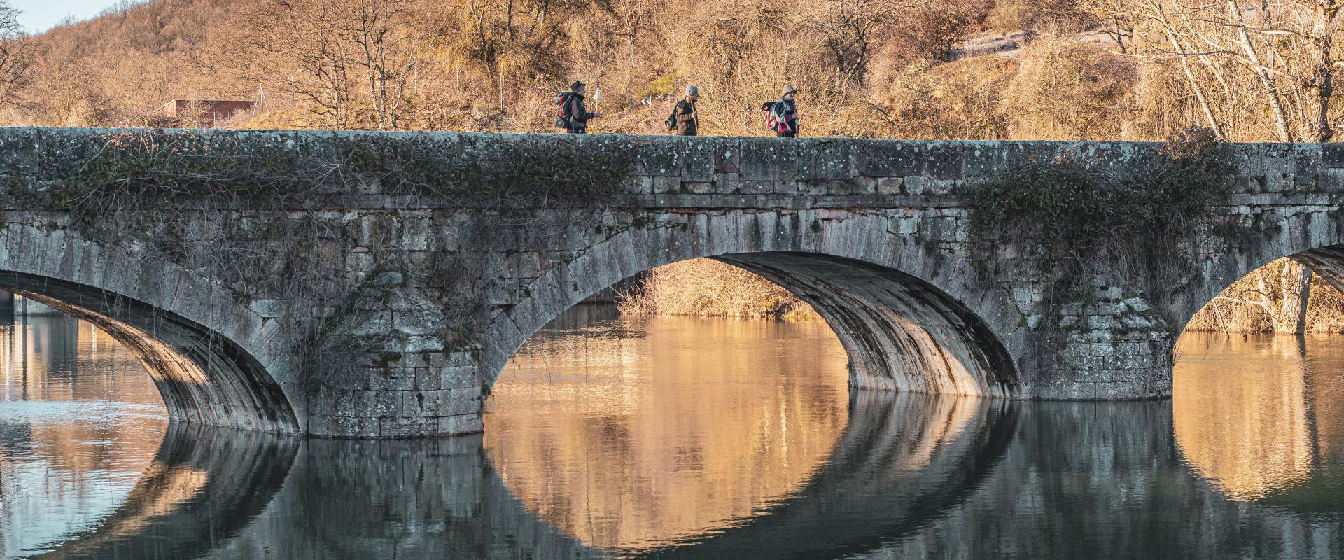
The Camino leaves Cistierna, passing by the Cruz del Molino landmark, and continues across the Esla River by way of Mercadillo Bridge. It intersects here with another Jacobean route, the Camino Vadiniense (the Vadinian Way), named after the pre-Roman settlers of these mountains, which links to the Santo Toribio de Liébana Monastery, where the relic of the True Cross is kept.

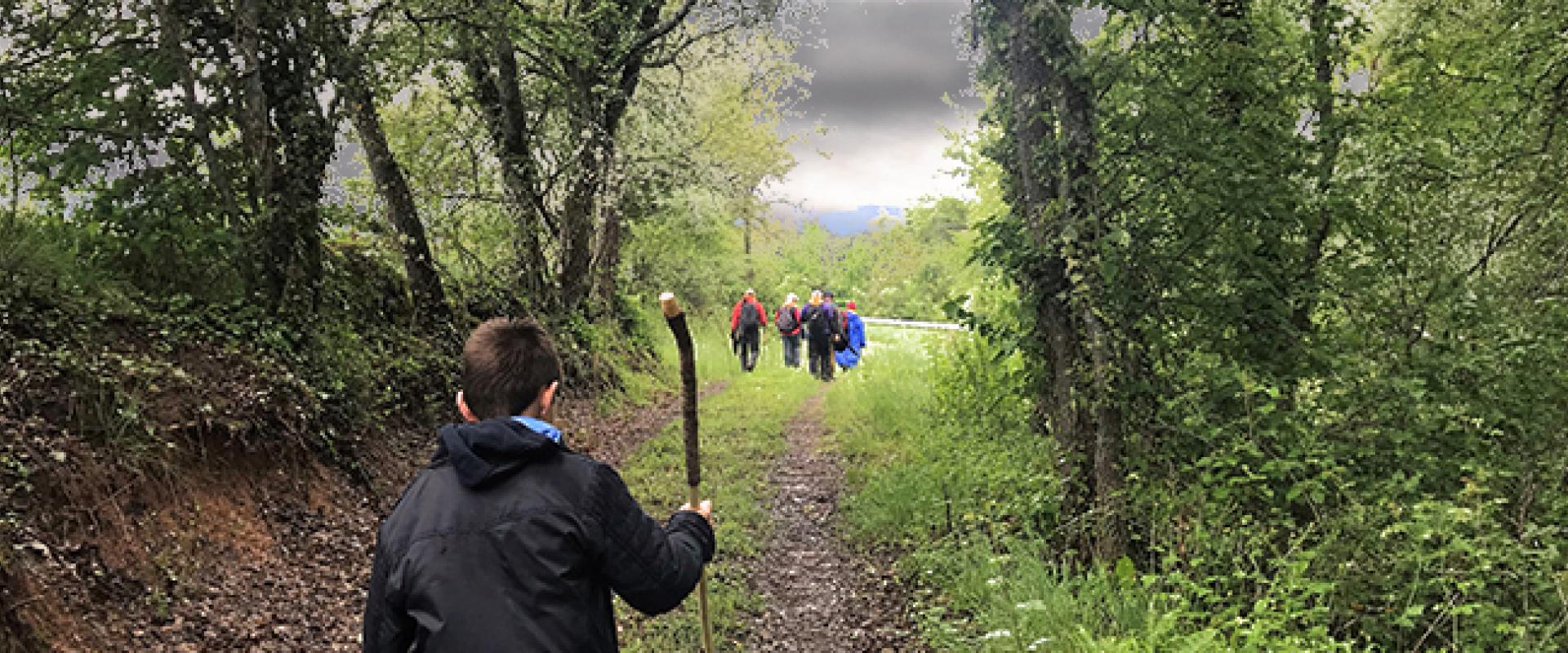
But the Camino Olvidado continues to the west, taking us uphill through an oak grove towards Yugueros, whose Iglesia del Salvador (Church of the Saviour) is well worth a visit before we continue on to La Ercina. In this town, we can visit the ethnographic museum and explore the Ruta de los Castros hiking trail before continuing to Santiago by way of Cordel Merinero de la Varga, which crosses region of Las Arrimadas. Between Acisa and Barrillos, Santa Marina Church preserves Jacobean evidence.
After going through the ‘Gateway to Galicia’, along Camino de los Rocines and the vast floodplains of the Porma River, we enter the town of Boñar.

Estimated time according to MIDE, non stop.

CISTIERNA (inicio de etapa)

BOÑAR (fin de etapa)


Descripción de señaletica MIDE
Severidad del medio
- 1 - El medio no está exento de riesgos
- 2 - Hay más de un factor de riesgo
- 3 - Hay varios factores de riesgo
- 4 - Hay bastantes factores de riesgo
- 5 - Hay muchos factores de riesgo
Orientación en el itinerario
- 1 - Caminos y cruces bien definidos
- 2 - Sendas o señalización que indica continuidad
- 3 - Exige la identificación precisa de accidentes geográficos y puntos cardinales
- 4 - Exige técnicas de orientación y navegación fuera de traza
- 5 - La navegación es interrumpida por obstáculos que hay que bordear
Dificultad en el desplazamiento
- 1 - Marcha por superficie lisa
- 2 - Marcha por caminos de herradura
- 3 - Marcha por sendas escalonadas o terrenos irregulares
- 4 - Es preciso el uso de las manos para mantener el equilibrio
- 5 - Requiere pasos de escalada para la progresión
Esfuerzo necesario
- 1 - Hasta 1 h de marcha efectiva
- 2 - Más de 1 h y hasta 3 h de marcha efectiva
- 3 - Más de 3 h y hasta 6 h de marcha efectiva
- 4 - Más de 6 h y hasta 10 h de marcha efectiva
- 5 - Más de 10 h de marcha efectiva
Calculado según criterios MIDE para un excursionista medio poco cargado y en condiciones climatológicas normales

